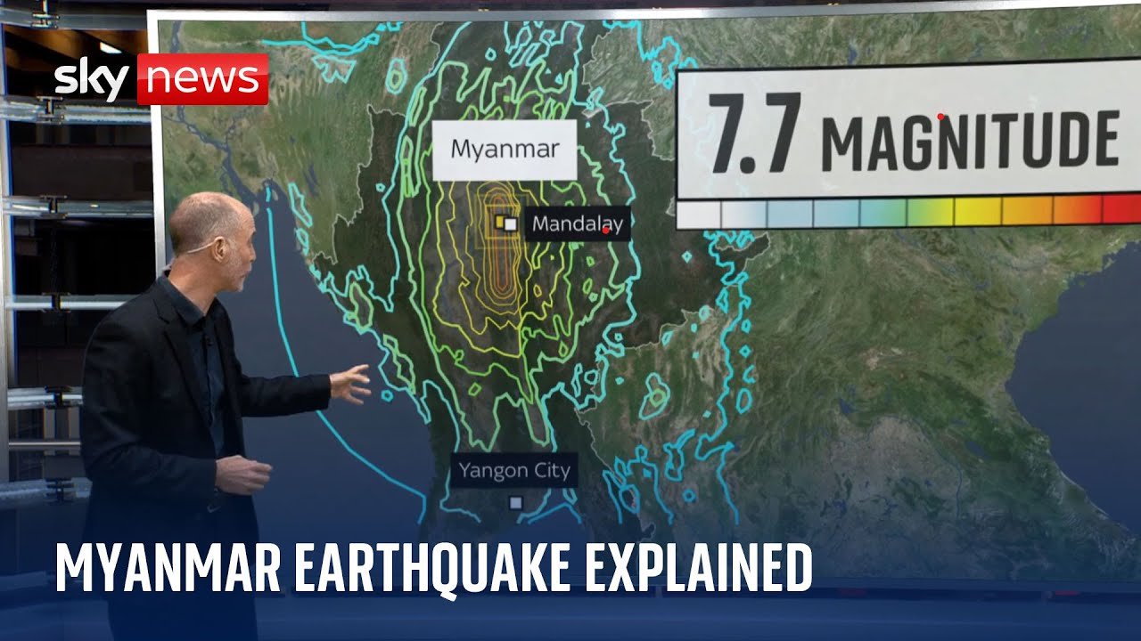
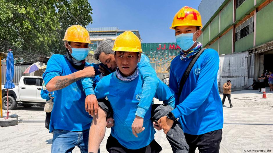
A devastating 7.7-magnitude earthquake struck central Myanmar on March 28, 2025, around 12:50 p.m. local time, becoming the strongest quake in the region since 1912 and one of the deadliest in Myanmar’s modern history. The disaster triggered catastrophic damage across Myanmar and sent powerful tremors through Thailand and much of Southeast Asia.
The epicenter was near Sagaing Township, about 16 to 17 kilometers northwest of Mandalay and roughly 200 kilometers north of Naypyidaw. The quake was shallow, at around 10 kilometers deep, which intensified the shaking at the surface.
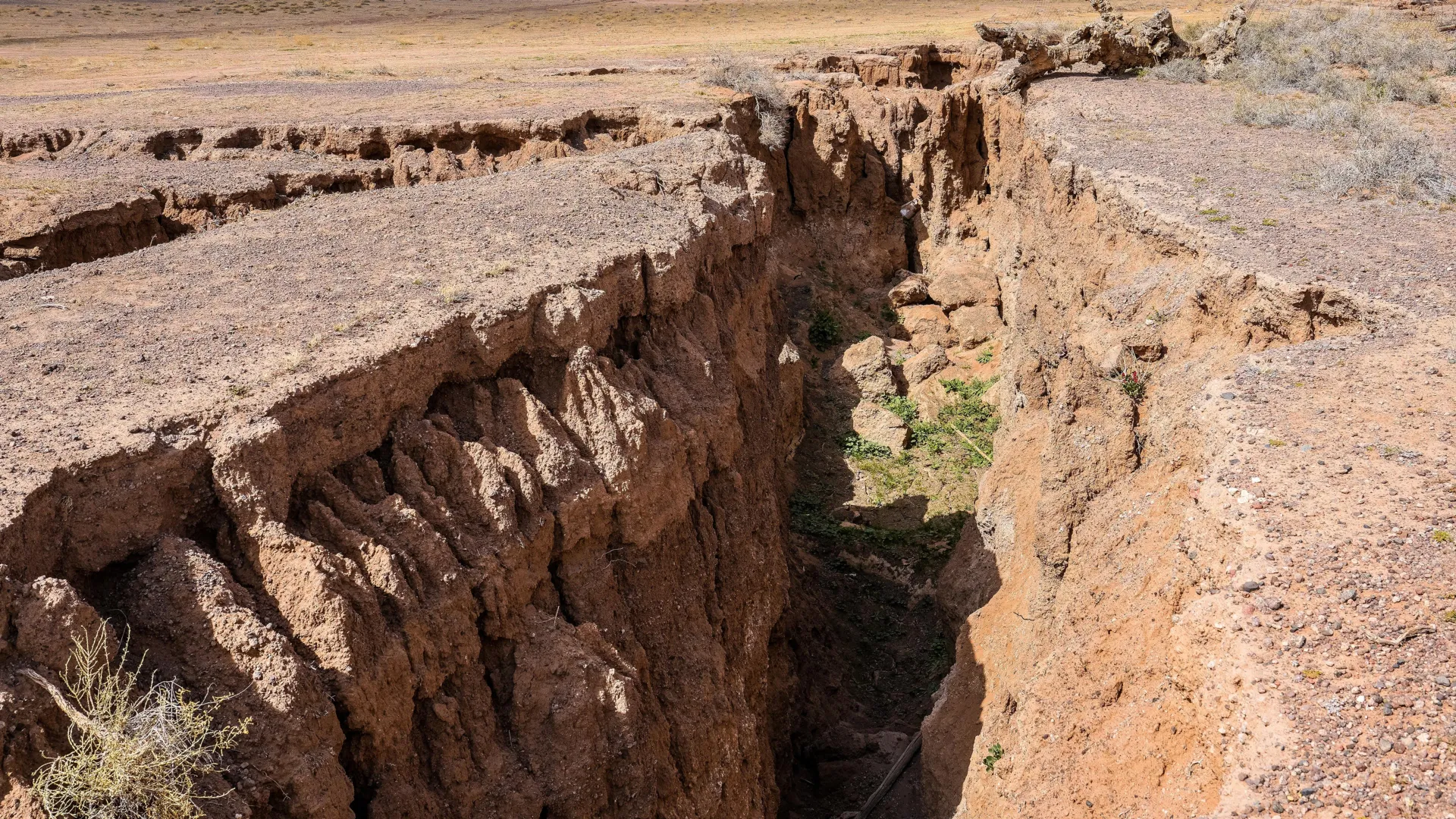
It was a strike-slip, supershear rupture along the Sagaing Fault, with the break stretching roughly 460 to 500 kilometers and surface displacement reaching as much as 6 meters in some areas. A 6.7-magnitude aftershock followed 12 minutes later, and hundreds of aftershocks continued in the months that followed.
Human toll
Casualty estimates varied widely because of limited access and the civil war. Reported deaths ranged from about 3,600 to more than 5,450 people, with over 11,400 injured.
More than 28 million people were said to need urgent humanitarian aid, and by late 2025 about 3.6 million remained displaced. Contaminated water and debris also contributed to outbreaks of cholera and dengue in some areas.
Damage in Myanmar
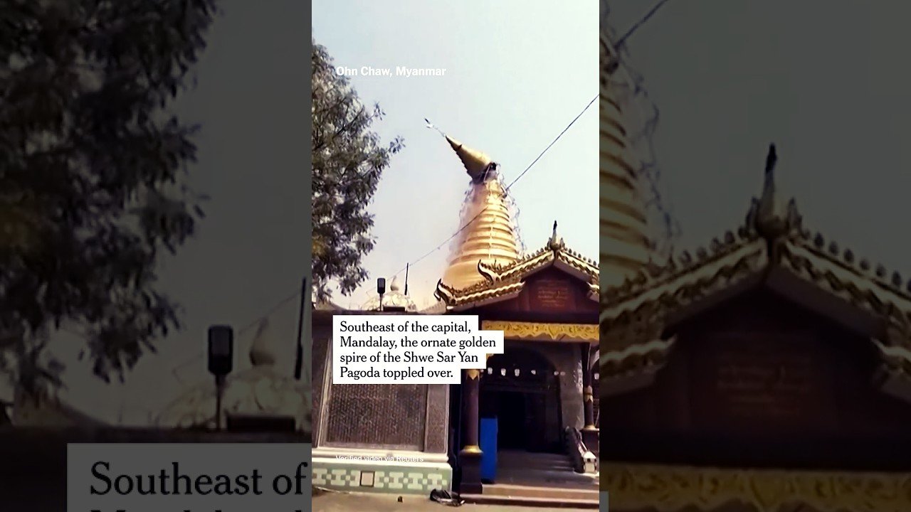
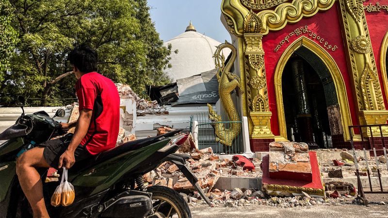
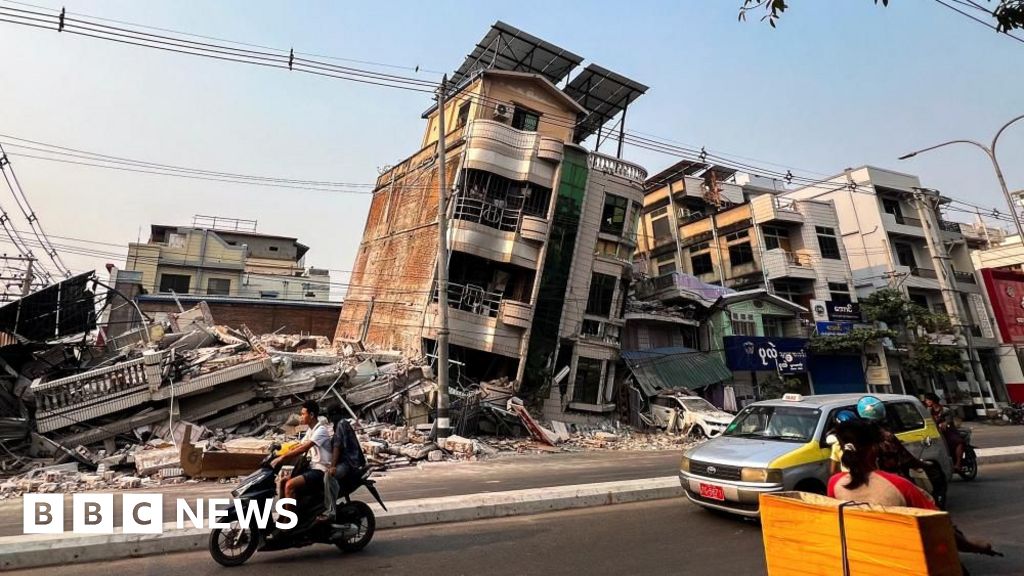
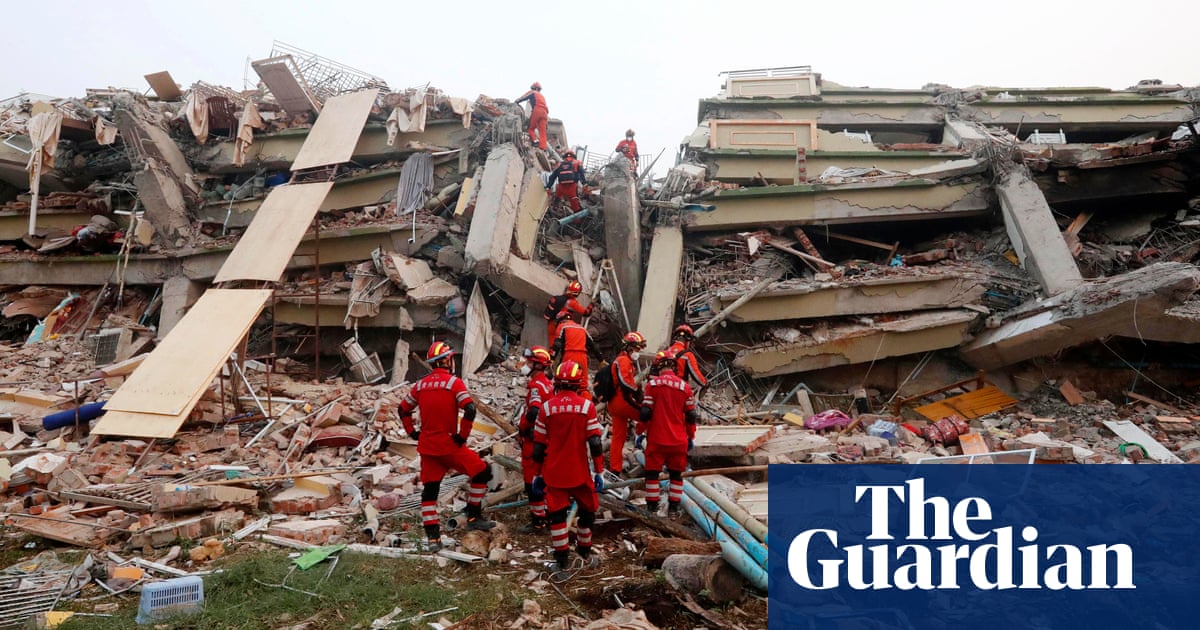
Mandalay suffered severe destruction, with roughly half of structures damaged or destroyed and major heritage sites such as Mandalay Palace and Mahamuni Pagoda badly hit. Sagaing was especially devastated, with an estimated 90 percent of homes destroyed and the collapse of the historic Ava Bridge.
In Naypyidaw, the air traffic control tower at the international airport collapsed and killed six people. More than 9,600 religious buildings were destroyed, including thousands of pagodas and more than 130 mosques, and many deaths occurred when mosques collapsed during Friday prayers.
The economic toll was estimated at about $11billion, or roughly 14 percent of Myanmar’s GDP. In April, the military announced it would redesign parts of Naypyidaw after the damage was found to be extensive.
Impact on Thailand
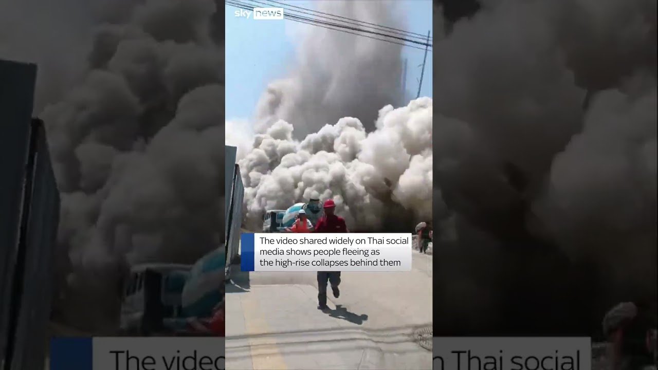
Thailand felt the quake across 63 of its 77 provinces, but Bangkok was hit especially hard because its soft marine clay amplified the shaking. In the capital, tall buildings swayed dramatically, and an under-construction 30-story State Audit Office tower collapsed in Chatuchak district even though it was more than 1,000 kilometers from the epicenter.
That collapse became the most serious structural failure in Bangkok, with casualties reported in the high double digits, including migrant workers from Myanmar and one Cambodian national. Tall-building evacuations caused additional deaths, and mass transit was temporarily suspended while authorities inspected the damage.
Other parts of northern Thailand also suffered, including cracked condominiums and damaged temples in Chiang Mai, as well as collapsed concrete beams near a railway project in Chiang Rai.
Regional ripple effects
The quake and aftershock were felt far beyond Myanmar and Thailand. Tremors reached China’s Yunnan province, where damage and injuries were reported, while Vietnam felt shaking in Hanoi and Ho Chi Minh City.
India, Bangladesh, Laos, Cambodia and parts of Malaysia also reported noticeable tremors. The event underscored how one large seismic rupture can cascade across a wide swath of Asia, disrupting infrastructure and public safety far from the epicenter.
Aid and conflict
The earthquake hit during Myanmar’s civil war, which made the response far more difficult. The military junta was accused of blocking aid to resistance-held areas, while some resistance forces announced temporary ceasefires even as airstrikes reportedly continued.
International aid and rescue teams arrived from several countries, including China, India, Thailand, Russia, Singapore, Malaysia and the Philippines. The United Nations and the Red Cross also launched emergency appeals for food, clean water and shelter as the humanitarian crisis deepened.