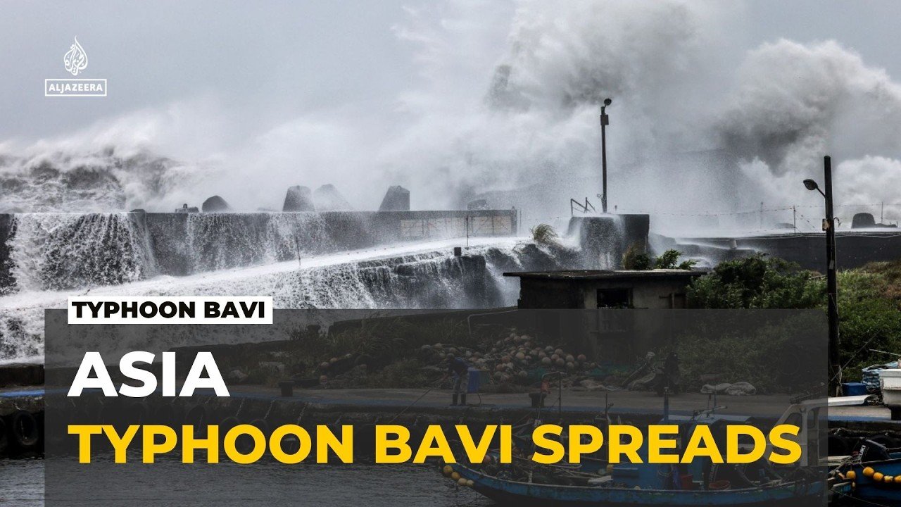



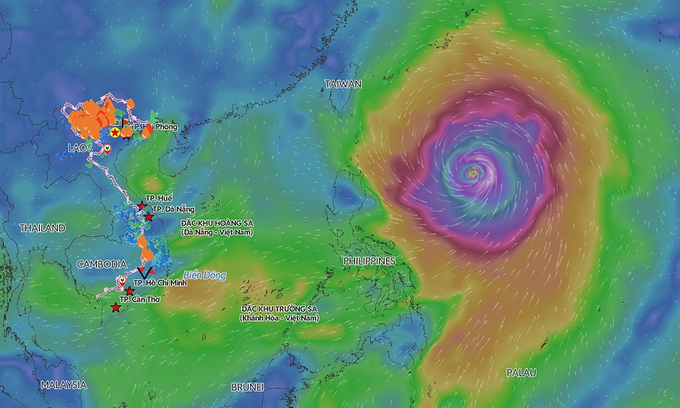


Super Typhoon Bavi is now churning across the western Pacific after smashing through the Northern Mariana Islands and Guam, with forecasters warning that eastern China could face landfall later this week.
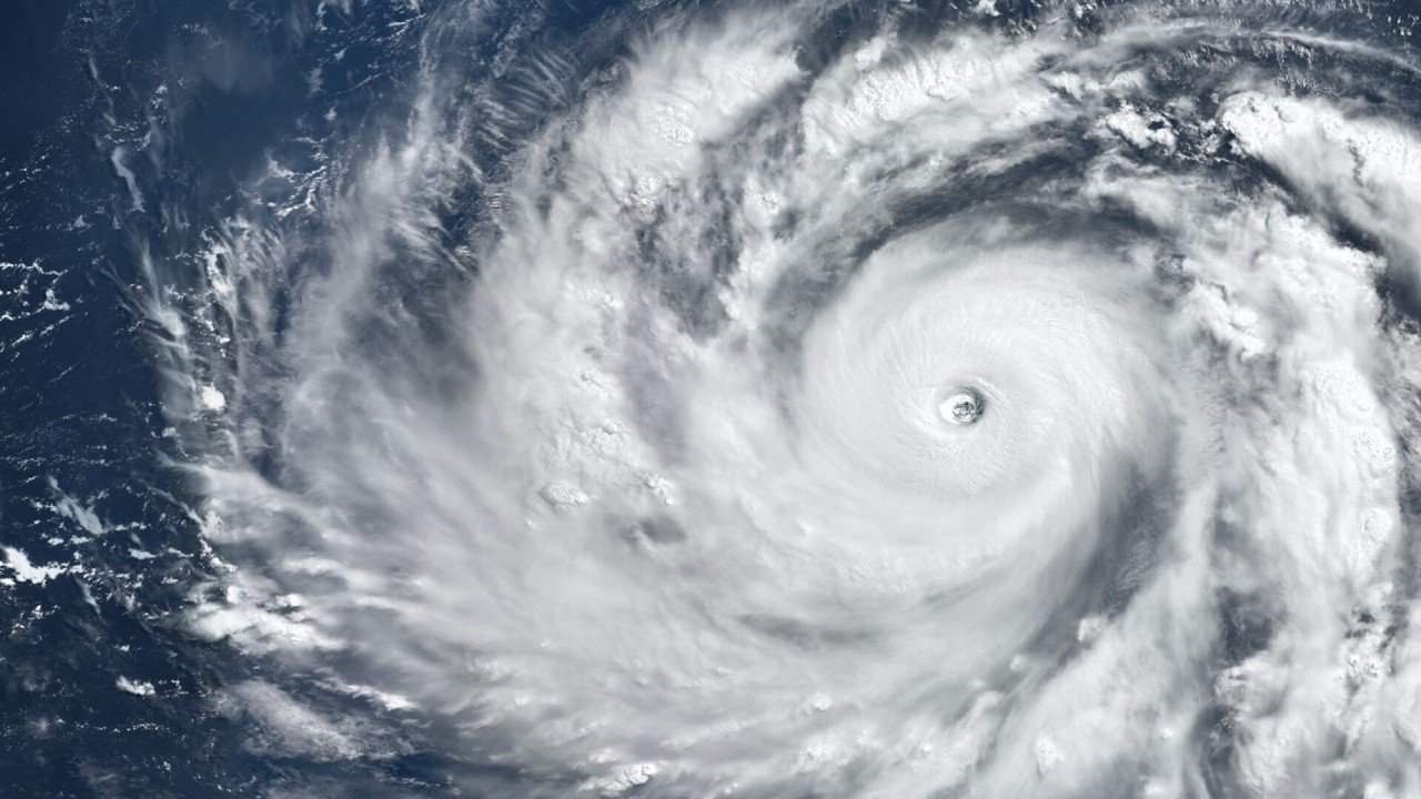
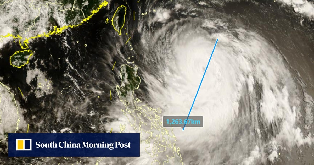
NASA describe Bavi as a vast, Category 5-equivalent cyclone, with peak winds near 290 km/h and a storm field that spans about 1,000 kilometres at its widest point.
Bavi intensified rapidly over very warm ocean waters, reaching super typhoon status on July 4 local time and peak strength as it neared the Northern Marianas. NASA says the storm was the third category 5 tropical cyclone of 2026, while satellite imagery captured its sprawling structure as it moved west over the Philippine Sea.
Although the system weakened somewhat after its peak, it remained powerful enough to threaten multiple countries and shipping lanes across the region. Reuters reported that Bavi still packed winds approaching 200 kph as it moved toward Taiwan and China, underscoring how dangerous the storm remains despite some weakening at the core.
Taiwan has reportedly placed nearly 29,000 troops on standby and evacuated thousands from vulnerable areas as Bavi threatens torrential rain and landslides.
Rota takes the brunt
The hardest-hit US territory so far is Rota, where Bavi made landfall with Category 5-equivalent force and left widespread destruction in its wake. Local officials described damage to homes, public buildings, the port, airport, roads and utilities, with many residents losing electricity, running water and mobile service.
Early assessments suggest the island’s recovery could take weeks, with some officials warning that large parts of Rota may be effectively uninhabitable in the near term. Reports from the island say most homes were damaged or destroyed, while shelters remained open for residents unable to return home.
Wider Pacific fallout
Guam and Saipan also experienced severe flooding, fallen power lines and widespread outages as Bavi passed nearby. AFP and other regional reports said tens of thousands of people across the U.S. Pacific territories were left without power, even as authorities said there were no confirmed deaths in the immediate aftermath.
Elsewhere in the region, the storm’s outer bands contributed to dangerous weather in the Philippines and disrupted marine traffic across the western Pacific. Taiwan and Japan’s southwestern islands were also placed on alert as the cyclone’s broad circulation continued to sweep moisture and high winds across the region.
China braces for landfall
China has now activated flood and typhoon response measures in coastal provinces including Zhejiang and Fujian, where ferry routes were suspended and thousands of people were evacuated from vulnerable islands and coastal communities.
Reuters reported that Bavi was forecast to skirt northern Taiwan before making landfall in Fujian on Saturday evening, although the exact track remains sensitive to small forecast shifts.
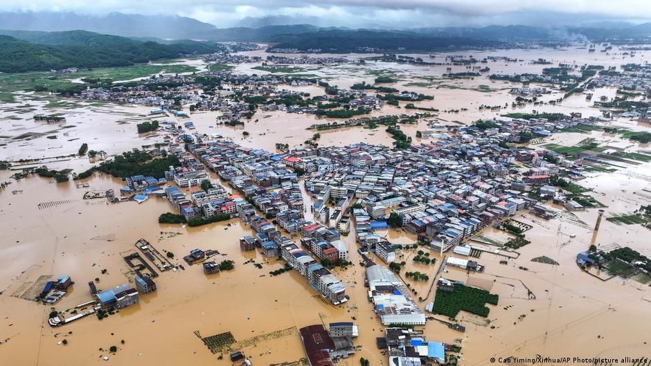
The storm’s broad size is a major concern for authorities because even a slightly weaker landfall can still produce heavy rain, coastal flooding, and damaging winds over a wide area. Reuters also reported that Bavi could channel moisture northward, raising the risk of intense rainfall beyond the immediate landfall zone.
Why it matters
Bavi stands out not just for its strength, but for how long it has remained a major cyclone and how far its effects have spread.
Bavi has so far been linked to at least 54 deaths across the Philippines and southern China, while the US Pacific islands reported no confirmed fatalities in the immediate aftermath.
The combination of rapid intensification, unusually warm waters and a favorable atmospheric setup turned it into one of the most significant storms of the year so far, with impacts stretching from US Pacific territories to East Asia.