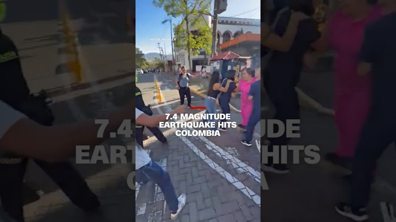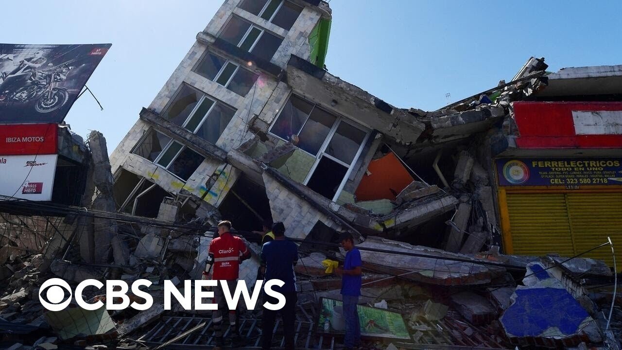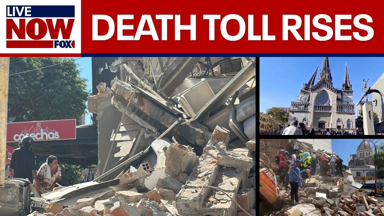


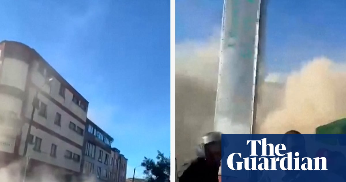

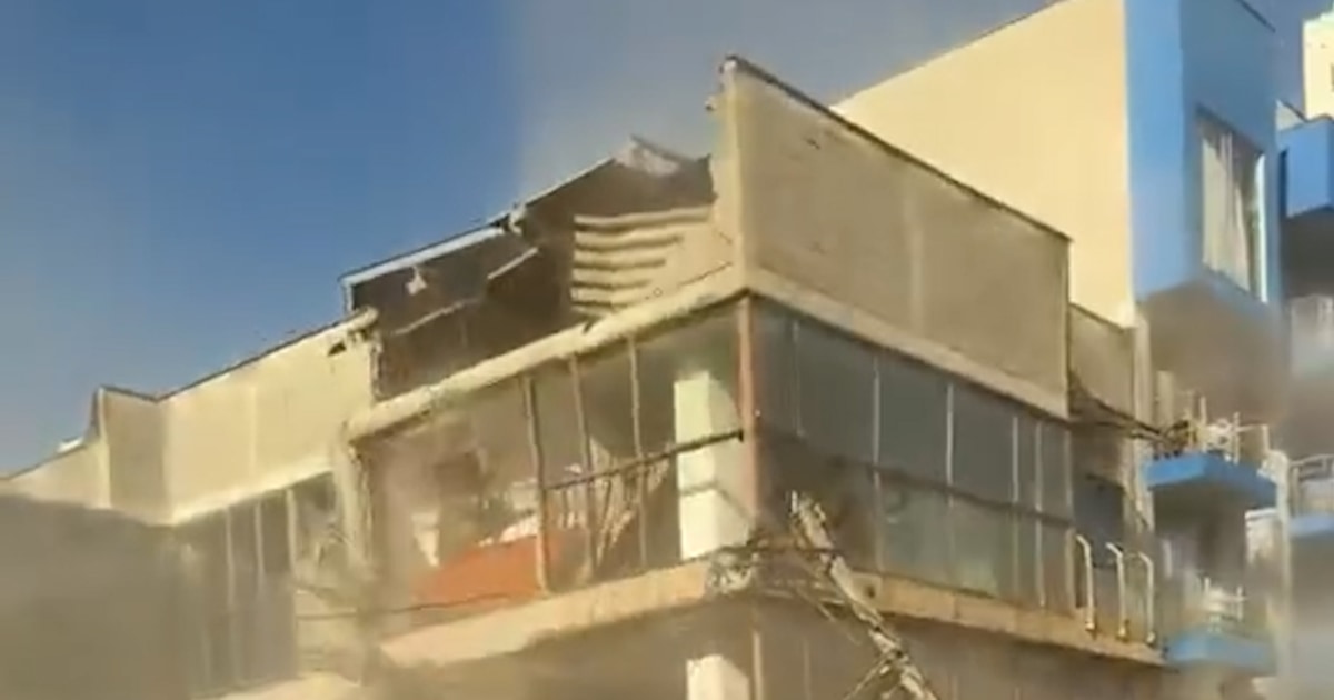



The earthquake struck at 7:34 a.m. local time on August 10 near San José del Palmar in the Chocó department, according to Colombia’s geological service. The United States Geological Survey placed the quake at a depth of approximately 103 to 110 kilometres, allowing the shockwaves to spread across a wide area of the country.
Tremors were felt hundreds of kilometres away in Bogotá and other major Colombian cities. Shaking was also reported in neighbouring Ecuador, Panama and Venezuela, prompting people to evacuate buildings and gather in the streets.
Damage across Western Colombia
The hardest-hit areas included parts of Chocó, Valle del Cauca, Risaralda and Caldas.
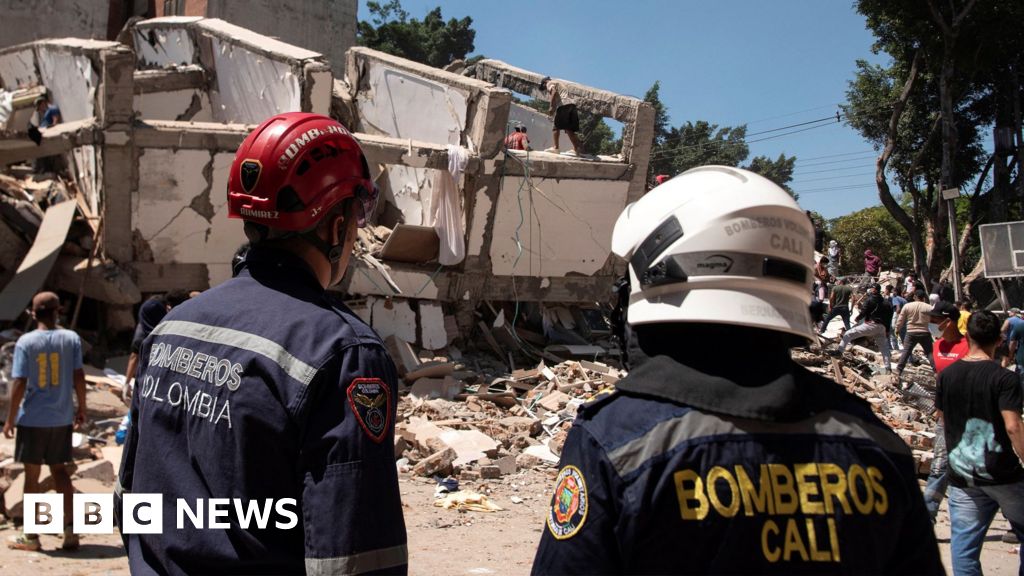
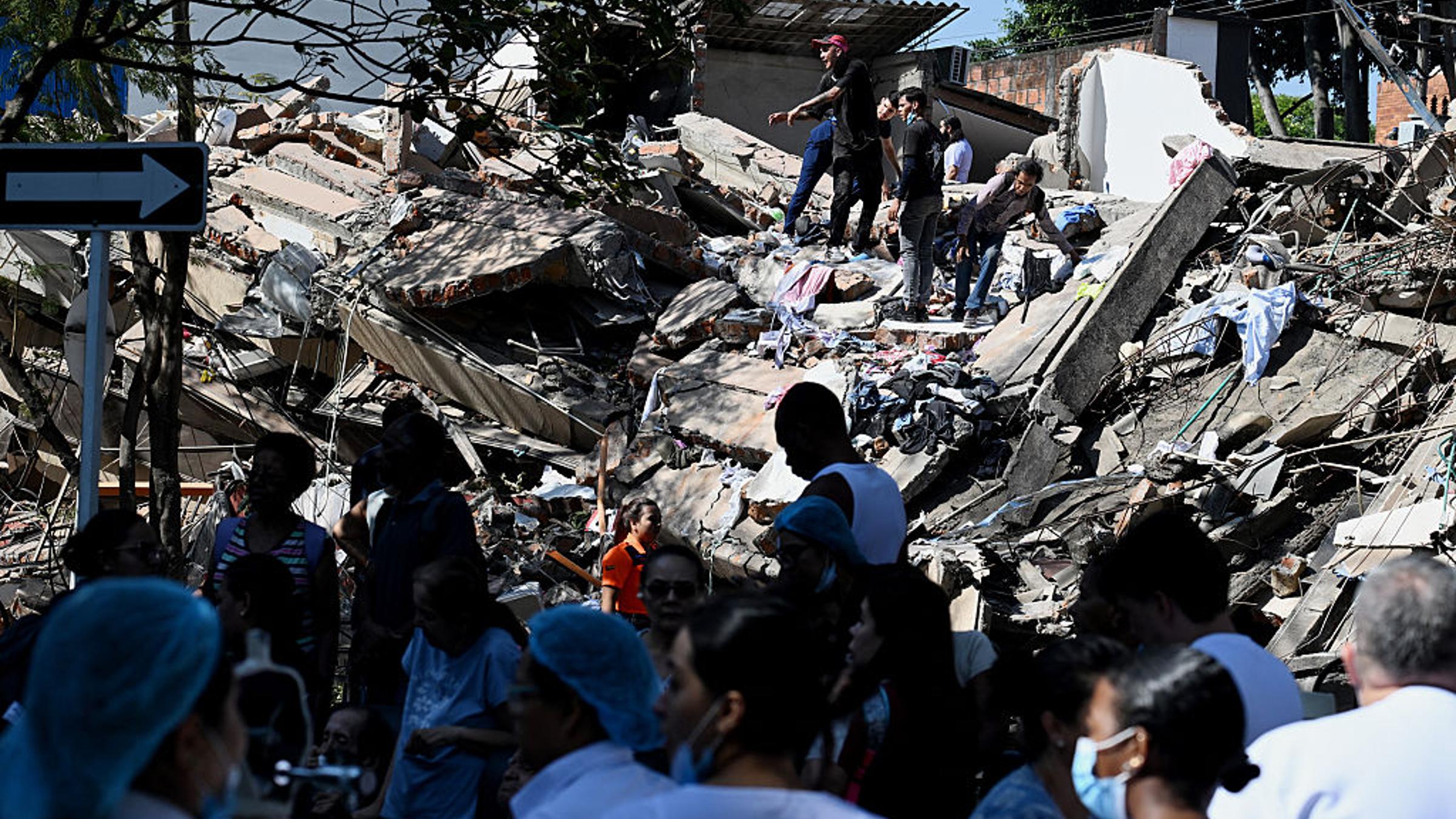
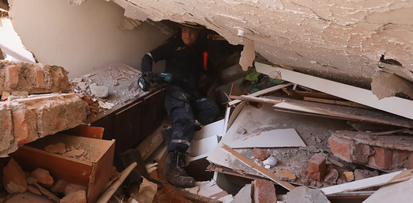
In Pereira, officials reported at least 60 deaths in early casualty updates. Cali also suffered significant damage, with multiple buildings collapsing and part of a hospital reportedly affected. In Manizales, structural damage was reported at churches and other buildings, while authorities continued inspecting public infrastructure for signs of instability.
The earthquake’s impact was particularly severe in rural Chocó, where damaged roads, limited connectivity and the remoteness of affected communities complicated rescue and assessment efforts. Homes and other structures were reported destroyed near the epicentre, while serious damage was also recorded in the departmental capital, Quibdó.
Initial assessments cited by humanitarian organisations indicated that more than 1,500 homes had been damaged, alongside dozens of collapsed buildings, health centres and schools. The full extent of the destruction remained unclear as emergency teams worked to reach isolated communities.
National emergency declared
President Abelardo de la Espriella declared a national state of emergency and said the government had mobilised all available resources to protect residents, support affected communities and deliver aid. The declaration allows emergency funds to be redirected towards rescue, medical care, temporary shelter and infrastructure repairs.
He asumido directamente el liderazgo de la atención por la emergencia en San José del Palmar. He ordenado la instalación de un Puesto de Mando Unificado para coordinar la atención de los daños y de los damnificados.
— Abelardo De La Espriella (@ABDELAESPRIELLA) August 10, 2026
Le he solicitado al director de la UNGRD un reporte detallado…
Authorities introduced overnight curfews in several cities, including Cali, Armenia and Pereira, as officials sought to prevent looting and keep roads clear for emergency vehicles.
Search-and-rescue teams were deployed to areas where people were feared trapped beneath rubble. Officials also warned residents to remain alert for aftershocks and to avoid entering damaged buildings until they had been inspected.
Flights and football matches disrupted
The earthquake disrupted transport across western Colombia. Colombia’s civil aviation authority temporarily suspended operations at several regional airports, including facilities in Pereira, Manizales, Quibdó, Armenia, Cartago and Buenaventura, while engineers assessed possible structural damage. Operations at Cali’s Alfonso Bonilla Aragón International Airport were also temporarily affected before being partially restored.
Domestic football fixtures were postponed as the country focused on emergency response and public safety. CONMEBOL also postponed two continental matches involving Colombian clubs following the disaster.
The earthquake has been described by Colombian officials and international reports as one of the country’s strongest in recent years, with some coverage calling it the strongest earthquake recorded in Colombia this century. However, casualty figures continued to change rapidly as authorities gained access to damaged areas.